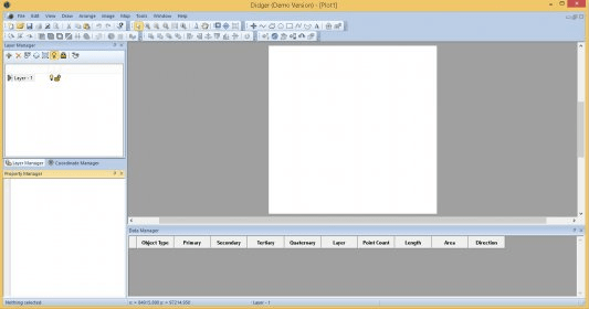
This is the perfect data conversion tool for any mapping or GIS professional.
Didger solves the problem of combining data files in different file formats and in different coordinate systems, by providing extensive tools to transform your GIS data into one cohesive coordinate system. You can use Didger to precisely convert paper maps, graphs, aerial photographs, well logs, or any other plotted information into a versatile digital format that you can use with other software. Didger can create new maps from the ground up or edit any existing map, drawing, image, or data set imported into it.


Comments