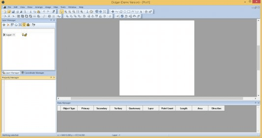
Didger is a geoprocessing and data conversion tool for any map maker, cartographer, geologist, oil and gas professional, or GIS analyst.
Main features:
- Georeferencing and/or mosaicking aerial photos or scanned images.
- Overlaying vector, data, and image files to create a complete map.
- Calculating areas of polygons, such as watershed or lake areas.


Comments